


Trimble Positioning Services

About: Xavier Banqué-Casanovas - Strategic Marketing Manager Automotive and IoT
Former Rokubun co-founder and CEO, Xavier is a Navigation Engineer and Product Manager with 20+ years’ experience in downstream satellite navigation for mass-market applications. Educated in Telecommunications Engineering and ICT research, with a Master in Project Management, his career spans academia, ESA-ESTEC, and leading European space companies. He now serves as Strategic Marketing Manager at Trimble Inc.
1. Why is absolute positioning becoming increasingly important as autonomous vehicles move from advanced driver assistance toward higher levels of autonomy, and where do conventional vision and LiDAR systems fall short in providing this spatial context?
Cameras and LiDAR are great at spotting what is directly around the car, like a pedestrian crossing or a nearby bumper, but they only see what is right in front of them. Absolute positioning gives the car a global location anchor within the map, telling it exactly where it is in the world. As cars take on more driving responsibility, they cannot rely on perception alone. Cameras and LiDAR might get blinded by bad weather, blocked by heavy traffic or confused in featureless environments. Global satellite positioning provides the big-picture context that eyes alone cannot see.
2. How does High-Precision GNSS (HPGNSS) complement relative sensors such as cameras, LiDAR and radar to create a more complete understanding of a vehicle’s position in the real world?
HPGNSS gives the car a single set of accurate global map coordinates. While cameras and radar handle immediate local hazards, high-precision GNSS connects those live visual feeds to a digital blueprint of the entire road network. This allows the vehicle to know its exact lane position, anticipate upcoming highway splits long before they come into view, and make smoother, safer driving decisions, taking into account the route and the conditions beyond the line of sight.
3. What technical capabilities enable HPGNSS to deliver positioning accuracy at the sub-30-centimeter level, and how reliable is this accuracy under real-world driving conditions?
Sub-30-centimeter accuracy is achieved by pairing satellite signals with real-time kinematic (RTK) or Precise Point Positioning (PPP) correction services, which mitigate inherent atmospheric and other GNSS error sources. To keep this accuracy reliable on the road, regardless of the GNSS acquisition scenario, the system merges satellite tracking with internal motion sensors and wheel Distance Measurement Instruments, ensuring the car stays on track even if the GNSS satellite reception is challenged for a short period.
4. How should OEMs think about the role of HPGNSS within the broader autonomous driving sensor architecture - as another sensor, a positioning reference, or the central spatial anchor for the vehicle?
HPGNSS should be treated as the central anchor for the entire vehicle, as important as perception sensors. Rather than acting merely as an isolated hardware sensor, a high-precision positioning solution provides a common spatial reference that unifies all downstream vehicle domains. HPGNSS should be regarded by OEMs as the necessary companion for current mainstream perception sensors, enabling the overcoming of those sensors’ limitations for the robust and reliable navigation necessary for higher levels of autonomy. Perception, motion planning, vehicle control and in-vehicle infotainment (IVI) systems all consume this common location reference to operate in complete alignment.
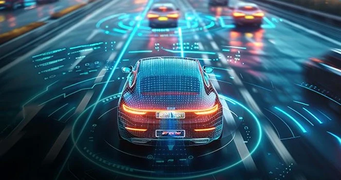
5. What does the integration of precise positioning into vehicle middleware look like in practice, and how can this architecture enable different sensors and software systems to work from a common spatial reference?
High-precision satellite positioning runs within the software-defined vehicle architecture. It combines satellite signals, correction data and motion sensors into one clean, verified location feed. It then broadcasts this absolute location out to all vehicle systems simultaneously, ensuring the automated driving software, map displays and safety systems are working off the exact same vehicle geolocation.
6. How can real-time GNSS positioning be synchronized with HD maps to provide lane-level localization, particularly at complex interchanges, highway splits and off-ramps?
Synchronization requires real-time alignment between the vehicle’s high-precision geolocation and the geometrical vector layers of HD maps. The HPGNSS solution provides real-time accurate location data along with strict Protection Levels information so that this information can be properly brought into the HD map. Having a perfect GNSS position does solve the where problem, but placing it on an HD map introduces the alignment challenge. Autonomous systems must continuously validate that the HD map's mathematical representation matches physical reality in order to rely on map-bound navigation. When navigating highway splits or off-ramps, this tight synchronization ensures the vehicle correctly identifies its specific lane rather than adjacent lanes, preventing routing or trajectory errors.
7. What are the biggest technical challenges in maintaining high-precision positioning when GNSS signals are degraded or obstructed by tunnels, urban canyons, bridges, vegetation or other environmental conditions?
The biggest issue is satellite signals bouncing off man-made structures, being blocked by thick trees, or cutting out entirely inside tunnels. When the sky visibility is blocked, standard GNSS loses track quickly. To handle these dead zones, the vehicle needs strong backup systems that track physical movement with additional inertial sensors to keep estimating its location, velocity and pose until satellite signal tracking is restored.
8. How can autonomous platforms combine HPGNSS with inertial sensors, odometry, cameras and LiDAR to maintain accurate positioning when absolute GNSS measurements are temporarily unavailable?
When GNSS signal outages occur, the system relies on high-frequency inertial sensors (IMUs) and wheel odometry for relative dead reckoning, while cameras and LiDAR perform visual odometry and feature-matching against HD map landmarks. Once the navigation satellite signal returns, the main positioning system automatically recalibrates itself and cleans up any minor tracking errors that build up while offline.
9. What role do correction services, RTK, PPP or other augmentation technologies play in achieving the accuracy and reliability required for lane-level autonomous navigation?
Correction services remove environmental errors inherent to satellite signals, such as ionospheric delays, tropospheric distortions, and satellite orbit and clock errors. By broadcasting real-time correction data to the vehicle via cellular or satellite links, augmentation technologies reduce standalone GNSS error margins from several meters down to centimeter accuracy essential for safe, lane-level navigation.
10. As vehicles become increasingly software-defined, how can a precise positioning layer support software updates that enable an OEM to move a platform from L2/L2+ capabilities toward L3 autonomy without fundamentally redesigning the vehicle hardware?
By keeping the location engine as a platform-agnostic software library rather than locked to specific hardware, carmakers can ship vehicles with standard sensors today and upgrade their precise navigation capabilities over the air tomorrow. Software updates can refine data-combining algorithms, unlock higher-tier correction feeds and activate stricter safety checks, upgrading a car from basic driver-assist to true hands-free driving without changing physical parts.
11. What changes are required in vehicle middleware and software architecture to make high-precision positioning accessible to automated driving, navigation, mapping and other vehicle functions simultaneously?
Vehicle software architectures must shift from siloed, hardware-bound GPS modules to a centralized, service-oriented middleware framework. This allows any application within the vehicle application software layer (self-driving features, map displays, telematics…) to access the same accurate data without duplicating hardware and/or software resources.
12. How can OEMs validate the integrity, continuity and reliability of positioning data before allowing it to influence safety-critical automated driving decisions?
Automakers rely on dynamic protection levels around the car's calculated position. By combining real data and statistical models with millions of miles of real-world test driving, the system calculates the probability that the vehicle is where it thinks it is. If the Protection Layer grows too wide due to poor signal quality, the vehicle knows data integrity is compromised and eventually hands control back to the driver or brings the car to a safe stop. Protection Levels information is provided along with accurate geolocation information in high-end navigation solutions.
13. Looking beyond passenger vehicles, where do you see the greatest opportunities for high-precision absolute positioning in autonomous platforms such as robotaxis, trucks, delivery vehicles, agricultural machines and industrial mobile robots?
The biggest opportunities lie in commercial operations where efficiency and safety directly drive revenue - such as robotaxi fleets, long-haul freight trucking, delivery robots, automated farm machinery and warehouse logistics. In these sectors, reliable centimeter-accurate positioning is the quiet engine that allows autonomous fleets to safely scale up operations without human supervision.
14. What needs to happen across GNSS technology, HD maps, vehicle middleware and autonomous driving software for absolute positioning to become a foundational capability for the next generation of L3 and higher autonomous systems?
All four pieces must work in tandem. Navigation satellite networks need better performance in harsh scenarios, while HD maps must continuously update to stay aligned with live data. Car software needs to deliver this accurate location data across all systems instantly, and self-driving computers must blend visual sensors with absolute GNSS navigation to make confident, safe driving choices in real time.